Active Filters:
  • Original Format = volume
Displaying 142 items
Filter

Date

Show more

Language

Contributing Institution

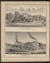
Caldwell's illustrated historical, combination atlas of Clearfield County, Pennsylvania / from actual surveys by & under the directions of J. H. Newton ; assisted by C. O. Mann & J. A. Underwood ; artists, J. D. McKissin and E. Franks
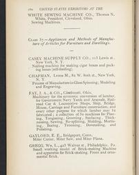
... Official catalogue of the United States exhibit
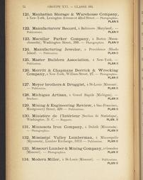
Catalogue général officiel / Exposition Internationale Universelle de 1900. Volume 18: E´conomie sociale. Hygiene. Assistance publique.
Caldwell's illustrated, historical, centennial atlas of Washington Co., Pennsylvania. From actual surveys by & under the directions of J.A. Caldwell, assisted by C.T. Arms, Sr. [and others] E. Bott, artist
Combination atlas map of Bucks county, Pennsylvania. Compiled, drawn and published from personal examinations and surveys, by J.D. Scott
A brief description of the Capitol at Harrisburg, Pennsylvania, with an outline of the state government. Prepared at the request of Governor Gifford Pinchot.
Caldwell's illustrated, historical, centennial atlas of Washington Co., Pennsylvania. From actual surveys by & under the directions of J.A. Caldwell, assisted by C.T. Arms, Sr. [and others] E. Bott, artist
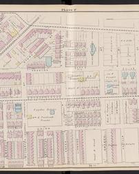
Atlas of the 24th & 27th wards, West Philadelphia : from official records, and actual surveys, based upon plans deposited in the Department of Surveys / surveyed under the direction of J. D. Scott
Caldwell's illustrated historical, combination atlas of Clearfield County, Pennsylvania / from actual surveys by & under the directions of J. H. Newton ; assisted by C. O. Mann & J. A. Underwood ; artists, J. D. McKissin and E. Franks
Combination atlas map of Bucks county, Pennsylvania. Compiled, drawn and published from personal examinations and surveys, by J.D. Scott
Caldwell's illustrated historical, combination atlas of Clearfield County, Pennsylvania / from actual surveys by & under the directions of J. H. Newton ; assisted by C. O. Mann & J. A. Underwood ; artists, J. D. McKissin and E. Franks
... Official catalogue of the United States exhibit