State Library of Pennsylvania - County Histories

About This Collection

A collection of Pennsylvania county, township and borough histories. Includes atlases and plat maps of the state, county, townships, cities, and boroughs.

Displaying 26 items
Filter

Original Format

Date

Show more

Language

Contributing Institution

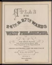
Atlas of the 24th & 27th wards, West Philadelphia : from official records, and actual surveys, based upon plans deposited in the Department of Surveys / surveyed under the direction of J. D. Scott
Atlas of the city of Harrisburg, Dauphin Co., Penna. : made from plans, deeds and surveys
Caldwell's illustrated, historical, centennial atlas of Washington Co., Pennsylvania. From actual surveys by & under the directions of J.A. Caldwell, assisted by C.T. Arms, Sr. [and others] E. Bott, artist
Caldwell's illustrated historical, combination atlas of Clearfield County, Pennsylvania / from actual surveys by & under the directions of J. H. Newton ; assisted by C. O. Mann & J. A. Underwood ; artists, J. D. McKissin and E. Franks
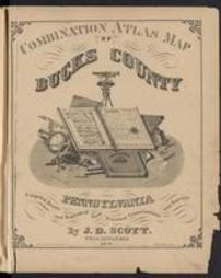
Combination atlas map of Bucks county, Pennsylvania. Compiled, drawn and published from personal examinations and surveys, by J.D. Scott
County atlas of Lebanon, Pennsylvania / from recent and actual surveys and records, under the superintendence of F.W. Beers. Maps engraved & printed by J.B. Beers & Co.
Illustrated atlas of Juniata County, Pennsylvania / published from actual surveys by Wall, Mann & Hall
Insurance maps of York, Pennsylvania
New topographical atlas of the state of Pennsylvania; with descriptions historical, scientific and statistical, together with a map of the United States and territories, by Henry F. Walling and O. W. Gray
Oil and gas field atlas of the Bradford quadrangle, Pennsylvania / compiled by Chas. R. Fettke and Virginia Fairall
Oil and gas field atlas of the Butler quadrangle, Pennsylvania / compiled by William S. Lytle and Lillian A. Heeren
Oil and gas field atlas of the Foxburg quadrangle, Pennsylvania. Compiled by John M. Bergsten and Lillian A. Heeren
Oil and gas field atlas of the Smethport quadrangle, Pennsylvania / compiled by Wilbur H. Seifert, Chas. R. Fettke and Virgin
Oil and gas field farm line maps of the Franklin and Oil City quadrangles, Pennsylvania / compiled by Parke A. Dickey and L.S
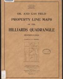
Oil and gas field property line maps of the Hilliards quadrangle, Pennsylvania / compiled by R.E. Sherrill
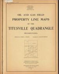
Oil and gas field property line maps of the Titusville quadrangle, Pennsylvania / collected by Parke A. Dickey ; compiled by
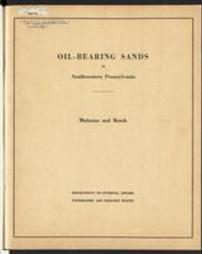
Oil-bearing sands in southwestern Pennsylvania : a preliminary report / by L.S. Matteson and D.A. Busch